How GPS Works: A Simple Guide for High School Students
Learn how GPS works in simple terms, from satellites to phone location, plus summer camps, competitions, and research options for high school students.
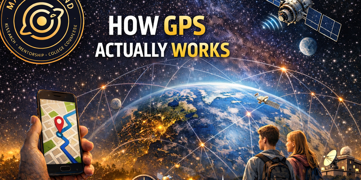
GPS is one of those technologies almost everyone uses, but most people do not stop to ask how it actually works. You open your phone, check directions, and a blue dot appears. It feels instant. But behind that blue dot is a huge system of satellites, ground stations, radio signals, and extremely precise timing.
Table of Contents
- What Is GPS?
- How Does GPS Find Your Location?
- Why Does GPS Need Four Satellites?
- How Accurate Is GPS?
- GPS Is Not Just for Maps
- How Scientists Use GPS
- What Is Changing in GPS Right Now?
- GPS Camps, Competitions, and Research Opportunities
- Why GPS Matters
What Is GPS?
GPS stands for Global Positioning System. It is a system that helps people and devices figure out location, navigation, and timing. GPS has three main parts: satellites in space, ground stations on Earth, and receivers like the one in your phone.
The satellites orbit high above Earth and continuously send signals. Ground stations track the satellites, check their signals, and send updates when needed. Your phone or GPS receiver listens to those signals and uses them to calculate where you are.
How Does GPS Find Your Location?
Each GPS satellite sends out a signal that includes its location and the exact time the signal was sent. Your phone receives that signal and compares the send time with the arrival time. Because radio waves travel very fast, your phone can use that tiny time difference to estimate how far away the satellite is.
Your phone does this with several satellites at once. Once it has enough distance measurements, it can calculate your position. That is how your map app knows where to place the blue dot.
Why Does GPS Need Four Satellites?
A GPS receiver usually needs signals from at least four satellites to find your location accurately. Three satellites help estimate position, but the receiver’s clock is not as perfect as the atomic clocks on the satellites. The fourth satellite helps correct that clock error.
This is why GPS depends so much on timing. In a way, GPS is really a timing system that also tells you where you are.
How Accurate Is GPS?
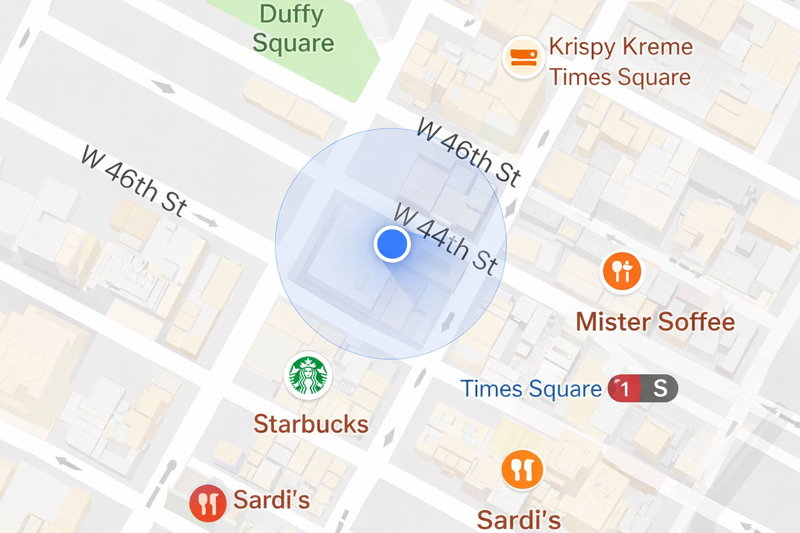
GPS is very accurate, but it is not perfect. In good conditions, such as open sky, smartphone GPS can usually get quite close to your true location. But GPS can become less accurate near tall buildings, indoors, under bridges, or in places where signals bounce off surfaces.
Trees, walls, and reflected signals can all make the location appear slightly off. That is why your phone sometimes shows you on the wrong side of the road or a little away from where you are standing.
GPS Is Not Just for Maps
Most people think of GPS as something used for directions, but it does much more than that. GPS also provides extremely accurate timing. That timing helps systems stay synchronized, including communication networks, power systems, and other technologies that need precise coordination.
So GPS is not only helping someone get to school, a restaurant, or a friend’s house. It is also helping parts of the modern world stay connected and organized.
How Scientists Use GPS
Scientists use GPS for Earth science too. High-precision GPS systems can measure tiny movements in the ground over time. This helps researchers study earthquakes, volcanoes, and how Earth’s surface changes.
For example, GPS can help scientists detect ground movement before or after earthquakes. It can also help monitor volcanoes by showing whether the ground is swelling or sinking. That means the same basic idea that helps your phone find a coffee shop can also help scientists study natural hazards.
What Is Changing in GPS Right Now?
GPS is still being improved. Newer satellites and upgraded ground systems are being added to make the system more accurate and more reliable. These upgrades can improve signal quality and make GPS work better in the future.
That means GPS is not old technology that has stayed the same. It is still evolving as engineers continue to improve it.
GPS Camps, Competitions, and Research Opportunities
- NASA Glenn High School Engineering Institute gives students hands-on engineering experience connected to NASA careers. It is a strong option for students interested in aerospace and STEM.
- UMSL Geospatial Science Summer Camp introduces students to GIS, mapping, drones, GPS, and StoryMaps. This is a great fit for students who want to explore location technology more deeply.
- NASA Space Club at Goddard and Wallops includes projects related to navigation, robots, software, and flight systems. It is especially useful for students interested in space technology.
- TSA Geospatial Technology is a good competition option if your school has a TSA chapter. Students work in teams to analyze geospatial data and present their conclusions.
- NASA Space Apps Challenge is a global hackathon where students can work on space, data, coding, and design problems. It is a strong option even if you are just getting started.
- Conrad Challenge is a global innovation competition for students ages 13 to 18. If you have an idea related to GPS, navigation, mapping, or aerospace, this could be a great place to develop it.
- Regeneron ISEF is a strong path for students who want to turn a GPS or geospatial science topic into a serious research project.
Why GPS Matters
GPS matters because it turns invisible science into something useful. It combines satellites, radio signals, timing, and math to answer a question humans have asked for thousands of years: Where am I?
But GPS also helps answer bigger questions. Is the ground moving before an earthquake? Is a volcano becoming active? How can a phone know exactly where it is? That is what makes GPS such an interesting topic for students. It connects physics, engineering, Earth science, and technology in a way that affects everyday life.
FAQ
Does GPS work without internet?
Yes. GPS itself works using satellite signals, not the internet. However, phones often use Wi-Fi and mobile data to find your location faster.
Why does GPS get worse indoors?
GPS signals can be blocked or reflected by walls, roofs, and tall buildings. That makes it harder for your phone to calculate your location accurately.
Is GPS only used for directions?
No. GPS is also used for timing, communication systems, scientific research, and monitoring natural hazards like earthquakes and volcanoes.
Why is GPS a good topic for students?
GPS is a great topic because it connects space, engineering, Earth science, and real-world technology. It also opens the door to camps, competitions, and research opportunities for high school students.

MachinedMind Team